Training on advanced digital soil mapping held in Rwanda, Kenya, and Ethiopia
Date: February 18, 2025 Author: Giulio Genova, Betony Colman, Silvana Summa (ISRIC)
The LSC-IS project is equipping national teams with advanced tools and knowledge to create accurate soil maps, contributing to improved agricultural productivity, sustainable land management, and climate resilience.

Training participants during DSM training in Ethiopia
To ensure long-term sustainability, the project focuses not only on designing the hubs with both technical and institutional considerations but also on enhancing the capacity of hub staff. Specifically, effectively operate and maintain the hubs, deliver support services to stakeholders, and promote the use of these hubs for knowledge sharing and decision-making.
In 2024, ISRIC - World Soil Information, in collaboration with national agricultural research organisations, delivered Advanced Digital Soil Mapping (DSM) trainings in Rwanda, Kenya, and Ethiopia. The trainings were attended by soil scientists, GIS specialists, irrigation engineers, crop/agricultural scientists, and IT professionals. A key component of these trainings was the introduction of the seedling workflow, a standardised process designed to streamline digital soil mapping projects. Developed by ISRIC’s digital soil mapping experts, the seedling workflow organises data for modeling, performs modeling with Random Forest algorithms, and creates soil property maps as outputs. This approach ensures consistency and efficiency in generating soil information. Reflecting on the workflow’s impact, Giulio Genova, digital soil mapping expert at ISRIC, stated, “Better soil maps empower people with better base products that they can use for research.”
Training highlights
In Rwanda, the DSM training was held in Huye on 8-10 July, facilitated by the Rwanda Agriculture and Animal Resources Development Board (RAB). This training built upon earlier DSM training sessions conducted under the Rwanda Soil Information Service (RwaSIS) project, funded by the Bill and Melinda Gates Foundation, which aims to establish a comprehensive Soil Information System (SIS) to provide critical soil data and information for applications such as soil fertility assessment, soil acidity management, and soil erosion risk assessments. The LSC-IS project, with use cases closely aligned with RwaSIS, will expand the system’s functionality as well as its data provisioning towards land and crop data.
RAB was first introduced to ISRIC’s semi-automated seedling DSM workflow in November 2023 during a joint training organised by the LSC-IS and RwaSIS projects.
The recent DSM training, organised by the LSC-IS project, aimed to ensure that RAB staff could fully operationalise the seedling workflow independently. This marked a significant milestone, equipping RAB with the ability to produce and publish their own soil property maps. Unlike previous sessions, this training also focused on identifying the “best” maps to produce in collaboration with RAB soil science experts. Participants evaluated four input data combinations to determine the most suitable soil maps for publication, with a particular focus on applications such as fertiliser recommendations.
The training emphasised both the technical process of producing the maps and the evaluation exercise, enabling participants to understand the methodology behind the maps and select final outputs that align with RAB’s objectives. By the end of the training, participants were prepared to independently execute the seedling DSM workflow, solidifying RAB’s capacity to manage and utilise digital soil mapping for their ongoing needs.

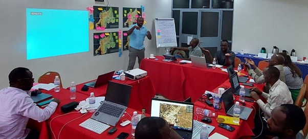
Training participants discussing and evaluating the Digital Soil Mapping products created in the project in Huye, Rwanda
In Kenya, the DSM training took place in Naivasha on 5-9 August 2024, hosted by the Kenya Agricultural and Livestock Research Organisation (KALRO). This was the first DSM training conducted by ISRIC for KALRO within the framework of the LSC-IS project.
The training combined theory with practical exercises, covering topics such as data preparation, covariate creation, and spatial modeling using machine learning. Experts from the German Space Agency (DLR) provided insights into the use of Earth observation data. Participants learned to apply ISRIC’s seedling DSM workflow to create reliable soil maps, equipping KALRO with the skills to produce high-quality, actionable maps independently
This capacity-strengthening initiative came at a critical time, as a large national soil-mapping project is set to commence in August 2024. The initiative will involve collecting up to 70,000 soil profiles nationwide, with KALRO leveraging DSM techniques to produce more accurate and up-to-date maps than those currently available.

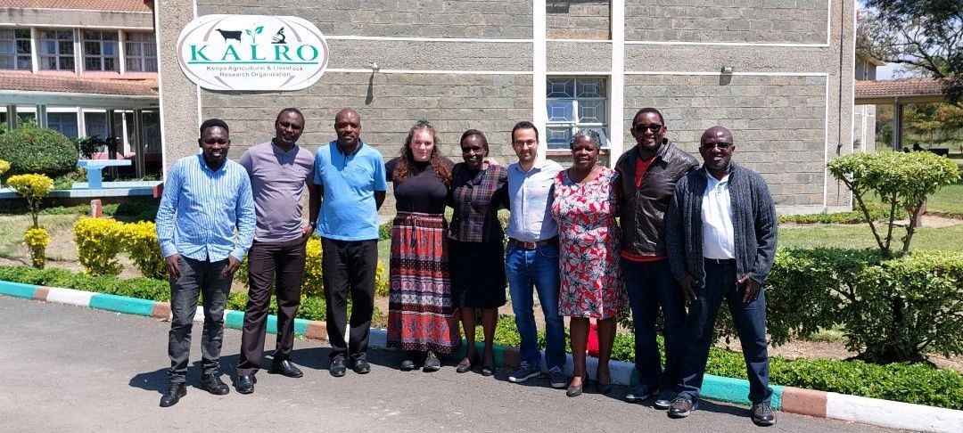
Training participants take a photo group at the KALRO research station in Naivasha, Kenya.
In Ethiopia the DSM training was held in Addis Ababa on 7-11 October 2024, hosted and facilitated by the Ethiopian Institute of Agricultural Research (EIAR), with support from the International Livestock Research Institute (ILRI). It marked the first DSM training conducted for EIAR by ISRIC within the framework of the LSC-IS project.
Aligned with ongoing initiatives in Ethiopia, such as the National Soil Information System (NSIS) project, the training aimed at supporting EIAR in independently creating detailed soil maps.
Participants engaged in both theoretical and practical sessions, gaining expertise in data preparation, spatial modeling, and Earth observation data analysis with guidance from DLR. The training focused on providing participants with a thorough understanding of the DSM framework and practical skills in using ISRIC’s semi-automated seedling workflow to generate gridded digital soil maps.

Betony Colman, ISRIC, explaining the process of binarising covariates for DSM.
During the training, an online learning platform hosted by ISRIC was piloted. This platform allows participants who are unable to attend in person to complete or review the training materials at their convenience. It enriched the training experience by providing access to various teaching tools in one centralised location, enabling attendees to engage more effectively by following along on their screens. “Although some adjustments are necessary, we believe this online learning platform can significantly enhance knowledge sharing and accessibility in training”, says Betony Colman, GIS technician at ISRIC.
Share